
Yamabe & Horn Engineering provides land surveying services supporting private development, public infrastructure, and municipal operations throughout the Central Valley. Accurate, reliable data supports projects from planning through construction.
Our team works closely with property owners, developers, agencies, and project stakeholders to provide responsive coordination, technical expertise, and practical surveying solutions across a broad range of project types.
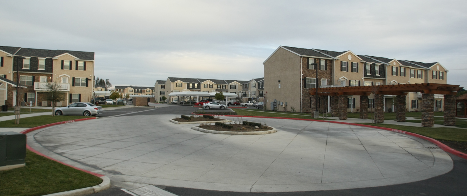
Land Development Surveying
Survey data supports due diligence, design, and construction.
- Boundary and topographic surveys
- ALTA/NSPS Land Title Surveys
- Subdivision mapping
- Construction staking and as-built surveys
Municipal Surveying & Acting City Surveyor Services
Survey support helps public agencies manage development review and capital projects.
- Contract City Surveyor services
- Map checking and compliance review
- Signing and certification of survey documents
- Development review and technical consultation
Boundary & Right-of-Way Services
Boundary analysis supports accurate property and right-of-way determinations.
- Boundary retracement and resolution
- Right-of-way determination
- Easement plats and legal descriptions
- Monument preservation and corner records
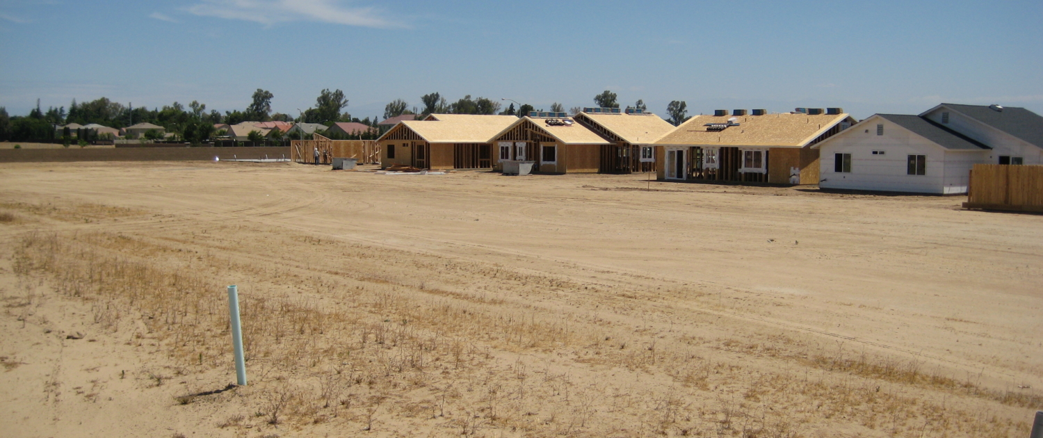
Construction Surveying
Construction surveying supports accurate project layout and control.
- Site and utility staking
- Roadway and improvement layout
- Grade and elevation control
- As-built data collection
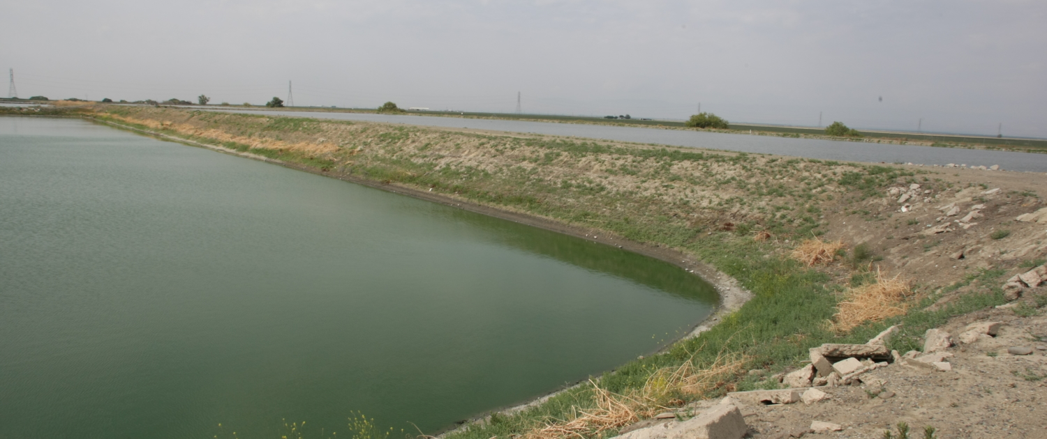
Survey Control & Geospatial Services
Control and geospatial services support planning, design, and asset management.
- Horizontal and vertical control
- Benchmark maintenance
- GPS/GNSS data collection
- GIS and UAV-supported mapping
Mapping & Legal Support
Mapping and documentation support property and infrastructure projects.
- Legal descriptions and plats
- Easement and right-of-way exhibits
- Parcel map processing
- Boundary and deed research